|
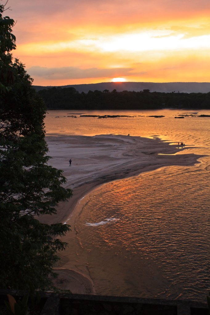 |
| Canaima Logoon at sunset | |
| Latitude: N 6°14'37,67" | Longitude: W 62°50'51,26" | Altitude: 407 metres | Location: Curatabaca | State/Province: Estado Bolívar | Country: Venezuela | Copyright: Ron Harkink | See map | |
| Total images: 70 | Help | |
|
|
|
| Canaima Logoon at sunset | |
| Latitude: N 6°14'37,67" | Longitude: W 62°50'51,26" | Altitude: 407 metres | Location: Curatabaca | State/Province: Estado Bolívar | Country: Venezuela | Copyright: Ron Harkink | See map | |
| Total images: 70 | Help | |